Valdres Valley, Norway
The Valdres valley is a geographical region that lies mainly along the river Begna and is bordered by the mountains of Jotunheimen to the north and by the mountains of Filefjell to the west. It is located between the valleys of Hallingdal to the south and Gubrandsdal to the north and is west of Hamar, east of Bergen, and northwest of Oslo. This region is within the current political boundaries of Oppland fylke. In contains the six kommunes of Etnedal, Nord-Aurdal, Sor-Aurdal, Vang, Vestre Slidre, and Østre Slidre. The largest town in Valdres is Fagernes which located close to the middle of the region.
Click on an image to see a larger version of the map:

Fig. 1 - Location of Valdres Valley in Norway

Fig. 2 - Six Kommunes in Valdres Valley
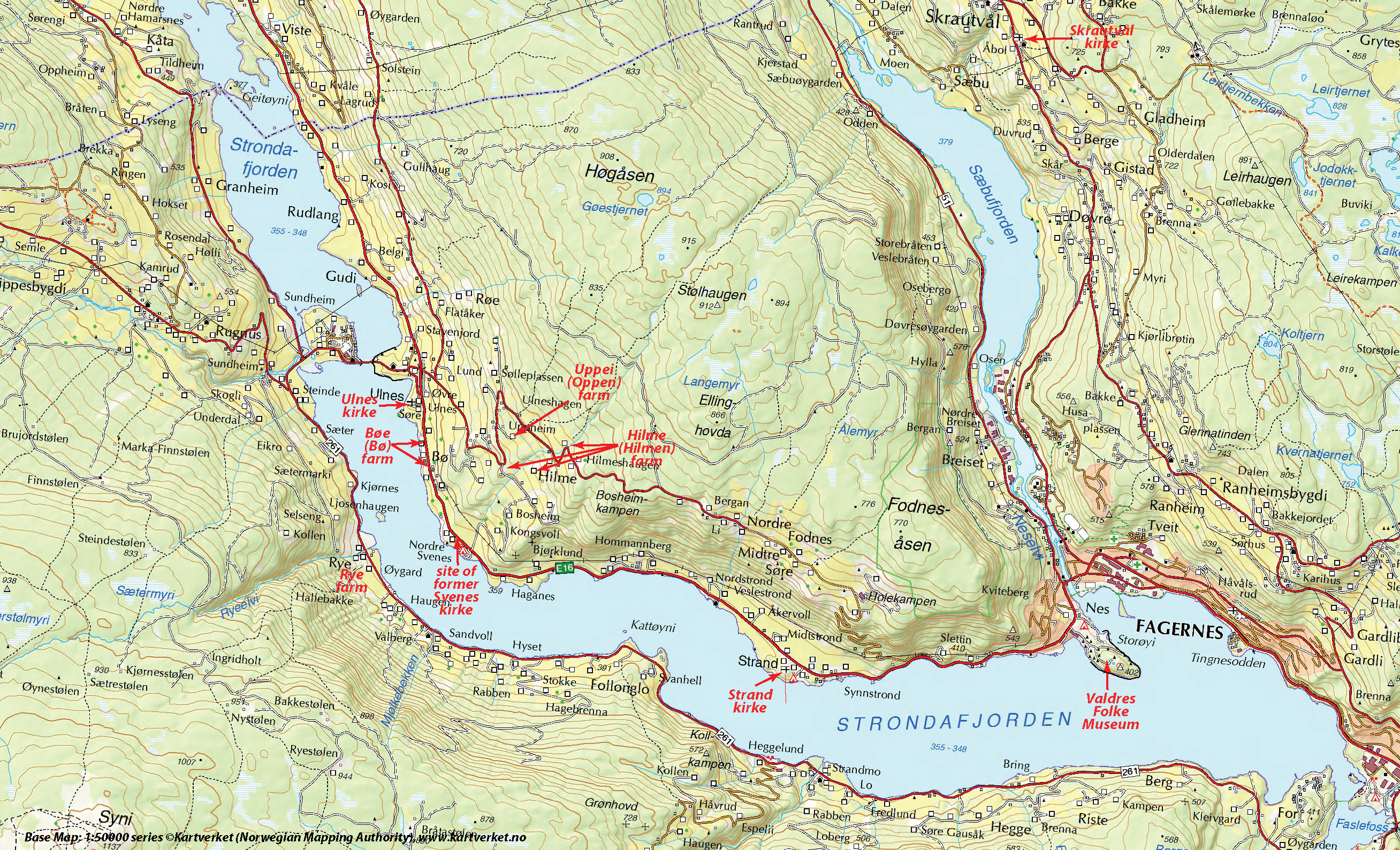
Fig. 3